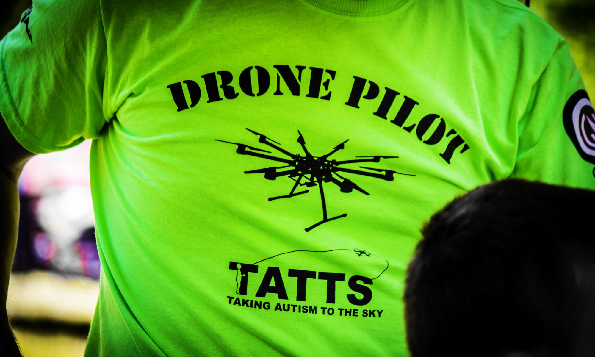
It sure was great to be back in the field this year after taking a year off due to the COVID-19 pandemic. We took a few extra precautions but beyond that, it was a familiar, fun year. Thank you to all the participants and volunteers that made the year so positive. We met throughout the Madison, WI area over 3 concurrent summer Saturdays and had some special experiences.
Session 1: First Outdoor Session
We did not hold our indoor session (typically the first one we do) due to concerns over COVID-19 and went straight to the field. After getting to know each other a bit and catching up with returning TATTS participants, we split into groups to; 1) practice flying on the simulator, and 2) fly our drones. As with the last two years, several of the TATTS participants have gotten their own drones and are now bringing them to the sessions. We have happily embraced this as a new trend and promote them to show their skills to the other participants wherever possible.


Not only are TATTS members good at flying, they’re pretty good at taking aerial pictures too. Here are 2 that they captured that day.


A special treat during our first session was a visit from Troy Gibbs of T&T Endeavors, LLC. Troy has volunteered for TATTS in the past and recently started his own drone company. T&T Endeavors supports the agriculture and environmental management industries with drones. They do aerial crop spraying, invasive plant control, cover seeding, sanitizing, and aerial imagery collect. Troy first explained his business and drones to all the TATTS members (and parents/guardians). He then gave them a chance to help set it up, fill it “fertilizer” (i.e., water in this case), and place water sensitive paper swaths (sensors) out amongst the crops so they could have a good visual of what actually got wet. Having Troy here was a way in which we are demonstrating how these skills can translate into employment opportunities.


Session 2: Second Outdoor Session
Our 2nd session was another outdoor opportunity focused on getting to know each other, reviewing imagery from previous outings, and doing a lot of flying. We started the day with a team meeting where we reviewed imagery from our first outing. We talked about how to look at an image and interpret what we see. Several TATTS members brought their own drones as well and we gave them opportunities to speak to the entire group about the technology and their experiences.
Once in the field we had several drones in the air at one time and flew the fully automated Quantix to collect RBG and near infrared imagery!


Sometimes it’s just fun to be together.
The experience of flying is important but so are the images/videos we take and spending time reviewing them; both while flying and after the fact. Below is short slide show of a few of the images that TATTS members captured.
Session 3: Final Session
Our final session gave TATTS members the opportunity to really show their skill. We spent time on the simulator, brought the augmented sandbox out for the first time to build the landscapes we see from the drone, spent a lot of time flying.
Simulator
The simulator is very video game like but it provides great opportunity for participants to learn the mechanics of flying.
TATTS Sandbox
We brought out of augmented reality sandbox for this final event. The intent of this is to have TATTS members try and replicate what they’ve seen through the drone in real life. The real-time feedback (topography/colors projected onto the sand) gives them a sense of what they’re building. Plus, you get to make it rain with hand gestures. The sand gives a nice sensory break to participants as well.


TATTS Table
We finally had an opportunity to bring out our new piece of technology – something we call the “TATTS Table”. The TATTS Table is a touch sensitive screen we’ve laid on its back in a custom designed table. That screen is attached to a laptop that is running an open source mapping (GIS) software with pre-loaded aerial imagery from our previous flying missions. The idea is to given TATTS members the opportunity to pan/zoom/interact with their imagery in the context of a real mapping application. From there, we setup the software to allow them to perform mapping tasks such as identifying features (e.g., houses, trees, roads, etc.), measure distances between things or to trace features to get their square footage, acreage, etc. These map manipulation skills are a precursor to employment skills in the surveying and mapping industry. The TATTS Table helps us inject employment skill development into a fun and engaging environment.
Here are a few pics and videos of TATTS members working with the TATTS Table.


And of course we did a bunch of flying too.


The more advanced participants do such a good job of explaining the technology to other participants, parents/guardians, and sometimes even to the volunteers!
Which resulted in tons of cool aerial imagery!


